City foundation
a curtain wall replaces the 'Smale castle'
Information point:
- Chapel on the Werth
Construction of Smalen Castle
In 1072, Benedictine monks built the monastery at the foot of Grafschaft at the foot of the Wilzenberg. To protect this abbey, the archbishop of Köln, as territorial lord, built a castle - Smale Castle - on the neighboring narrow ridge after 1160 (presumably where the chapel on the Werth stands today) which had to protect Grafschaft against the neighboring Arnsberg.
Fortification of the settlement and elevation to the status of a town
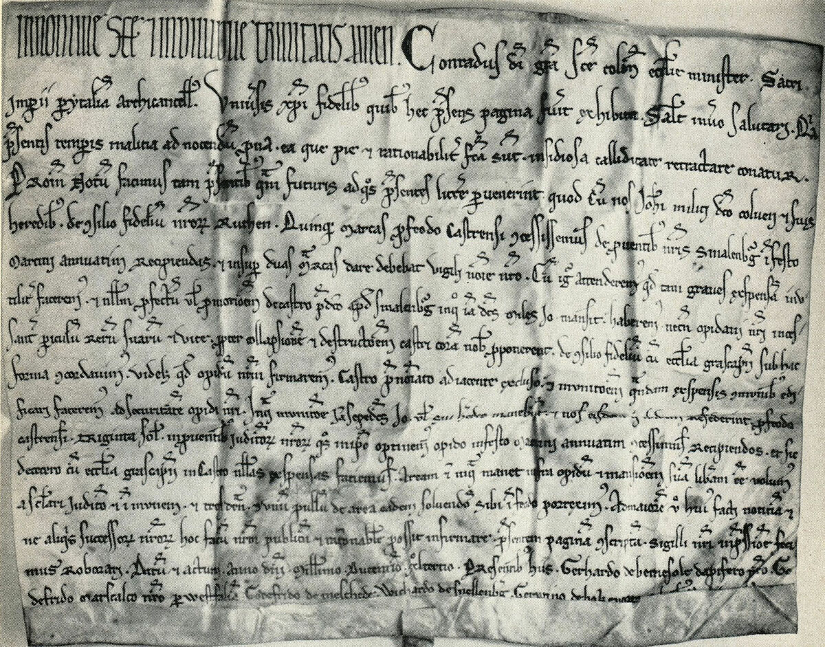
A settlement was built adjacent to this castle. The first documentary mention of Schmallenberg was found in 1228. When this castle was probably destroyed in battles around 1240, an agreement was reached in 1244 between all parties involved - the bishop of Köln (Konrad von Hochstaden), the feudal lord of the castle (knight Johann Kolve), the monastery and the inhabitants of the settlement. Grafschaft and the inhabitants of the settlement: the archbishop of Köln decided, together with the monastery Grafschaft to fortify the settlement. The costs of the fortifications were borne jointly.
Two documents from 1244 show that a settlement that already existed at this time was elevated to the status of a town. In place of the abandoned castle, the now fortified town became a border fortress for the growing territorial state. The knights moved into the town and lived there together with merchants and craftsmen. Schmallenberg was therefore not founded on an important trade route for economic reasons, as had been the case with earlier towns. Schmallenberg was fortified for defensive purposes and elevated to the status of a town. The city thus belonged to the third wave of city foundations after the first wave of fortifications of settlements on rivers and central trading centers and the second wave of founding cities, which were established by princes in strategically good locations. The third wave concerned towns that were fortified to round off territories.
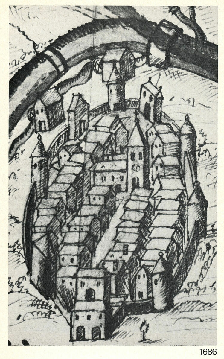
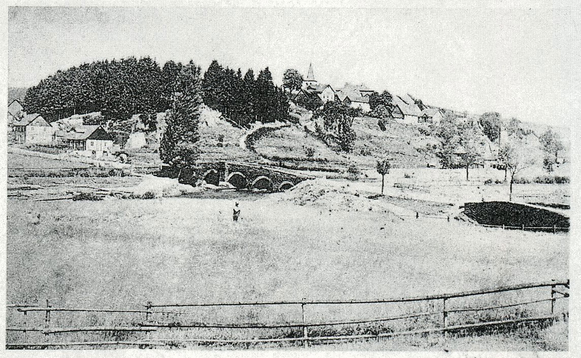
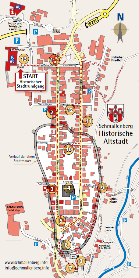
The location on the ridge, which is surrounded on three sides by the Lenne made the city, which was now protected by a wall, practically impregnable. In the open north, the town was protected by a rampart ("in Schlingen", consisting of ditches, hedges and undergrowth), while in the west, south and east there was a wall with six towers and three gates (Oberes Tor/Weststraße 36 in the north, Niederes Stadttor/Unterm Werth in the south, Wassertor/Wasserpforte in the east). The course of the medieval town wall and the location of the former gates is indicated in some places by bronze plaques; on the street "Auf der Mauer" marked with 4 manhole covers. The Schmale Haus (town archive) was built before 1822 in half-timbered construction on the remains of a hexagonal tower of the town wall: The tower shape of the building is easily recognizable from the south.
The town was divided into quarters: The large quarter (Aldenburg) in the NE; in the NW Luttern or Gerstern, in the SW the small one (Lütteken) and in the SE Deckers Viertel (or Niggestadt): The latter got its name from the von Dorlarcalled Deckers, who owned a castle house there.
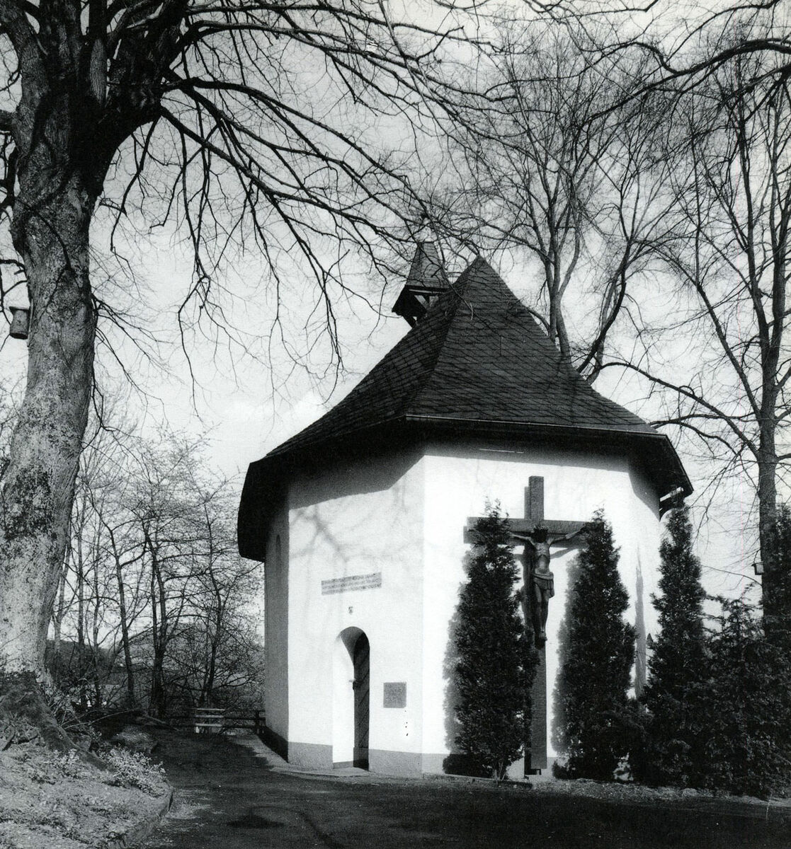
The already decaying castle remained outside the fortifications; the chapel on the Werth, donated by Mr. and Mrs. Cordes after a Lenne flood, was probably built on its site in 1682.
Townscape hardly changed during 600 years
In 1307, there were Schmallenberg 120 dwellings. Due to the countless feuds in the late Middle Ages, which made the countryside unsafe, inhabitants of the surrounding villages sought protection within the town walls and became town citizens. As they kept their property outside the town walls, the town area expanded.
When troops of the Archbishop of Cologne took Fredeburg Castle in 1444 during the Soest Feud and the surrounding area had only one sovereign (the Bishop of Cologne), it lost its function as a border fortification. Schmallenberg its function as a border fortification. The town walls and gates were subsequently no longer renovated as was the case in strategically more important locations. The "water gate" in the east of the town was demolished in 1787 and the entire town wall in 1812.
After immigration from the surrounding villages to the town was completed at the beginning of the 16th century Schmallenberg was completed, the town grew only slightly until 1822. Despite its rise and fall, fires and reconstruction, the outward appearance of the town hardly changed and its population always remained under 1,000 until the 19th century. The town grew beyond the old buildings for the first time after the demolition of the town wall in 1812.
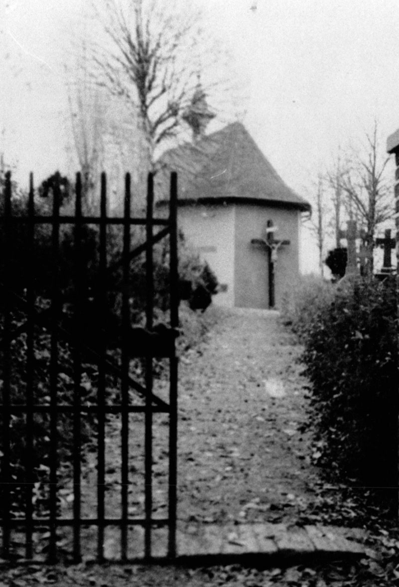
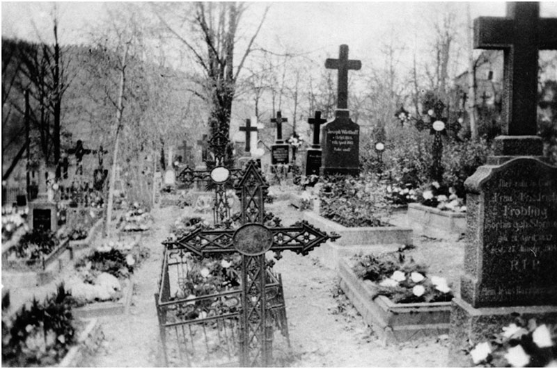
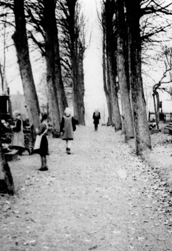
Old cemetery
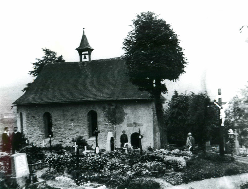
With the reconstruction after the town fire, the church moved to the center of the town. This meant that there was no longer room for the cemetery traditionally located next to the church, where the dead were laid to rest in the immediate vicinity of the sanctuary. The cemetery was therefore moved to the south of the new town around the chapel on the Werth in 1825/26 and extended several times (1846, 1857, 1901). The old graves were preserved until the 1950s, when the cemetery was converted into a small park. A few gravestones of Schmallenberg personalities of merit have been preserved.
In 1961, the war memorial for the Schmallenberg soldiers who died in the First World War on the church square was removed and parts of it (stone relief by the artist Eugen Senge-Platten from 1923) were rebuilt in the old cemetery.
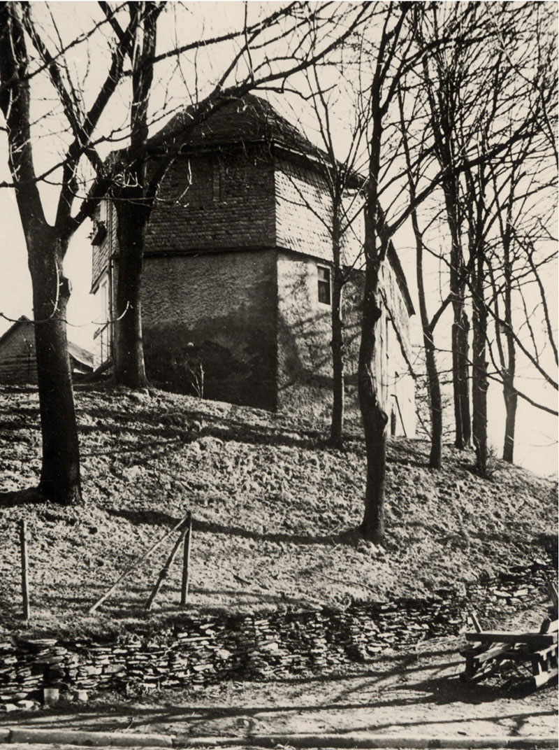
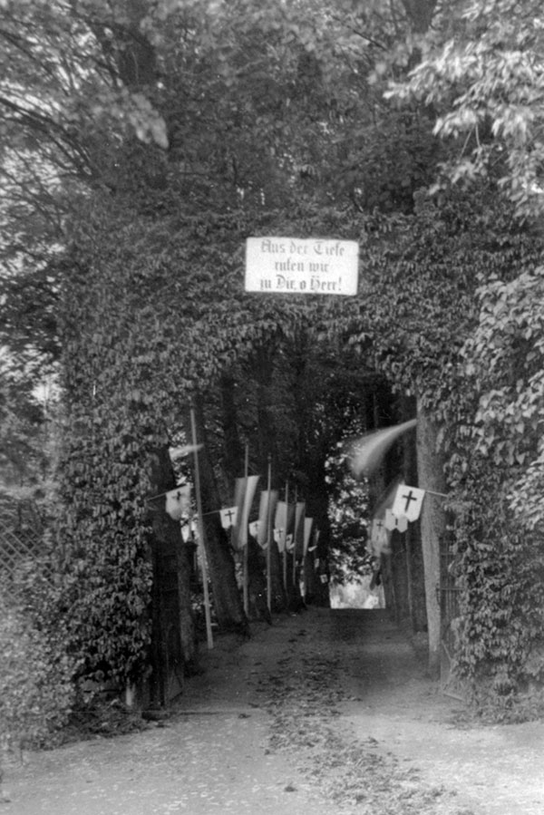
Chapel on the Werth
The chapel was donated in 1682 by the married couple Joannes Cordes and Maria Falcken after a Lenne flood. The small single-nave, two-bay hall church contains a small baroque altar and is dedicated to Mary and John the Evangelist. The foundation inscription is a chronogram and indicates the date of foundation. The "Smalen Burg", the nucleus of the town, is thought to be located on the site of the chapel. Schmallenberg is assumed to be at the site of the chapel. After the old memorial on the church square from 1932 was removed, the memorial to Schmallenberg's fallen in the world wars was moved to the chapel in 1961.